Neighbourhood in View: The Changing Landscape of Danforth Village
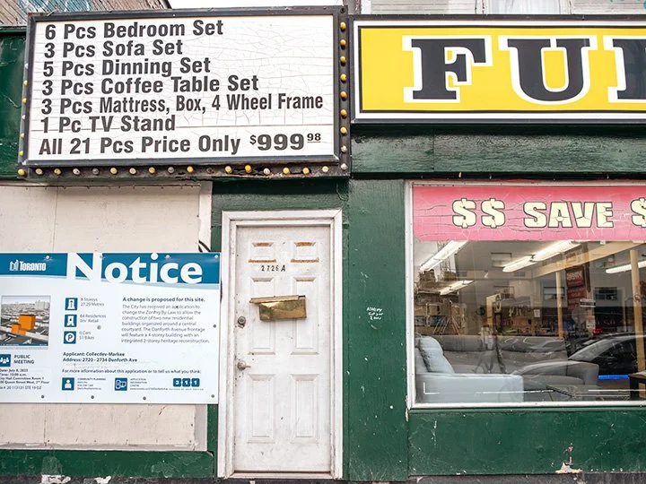
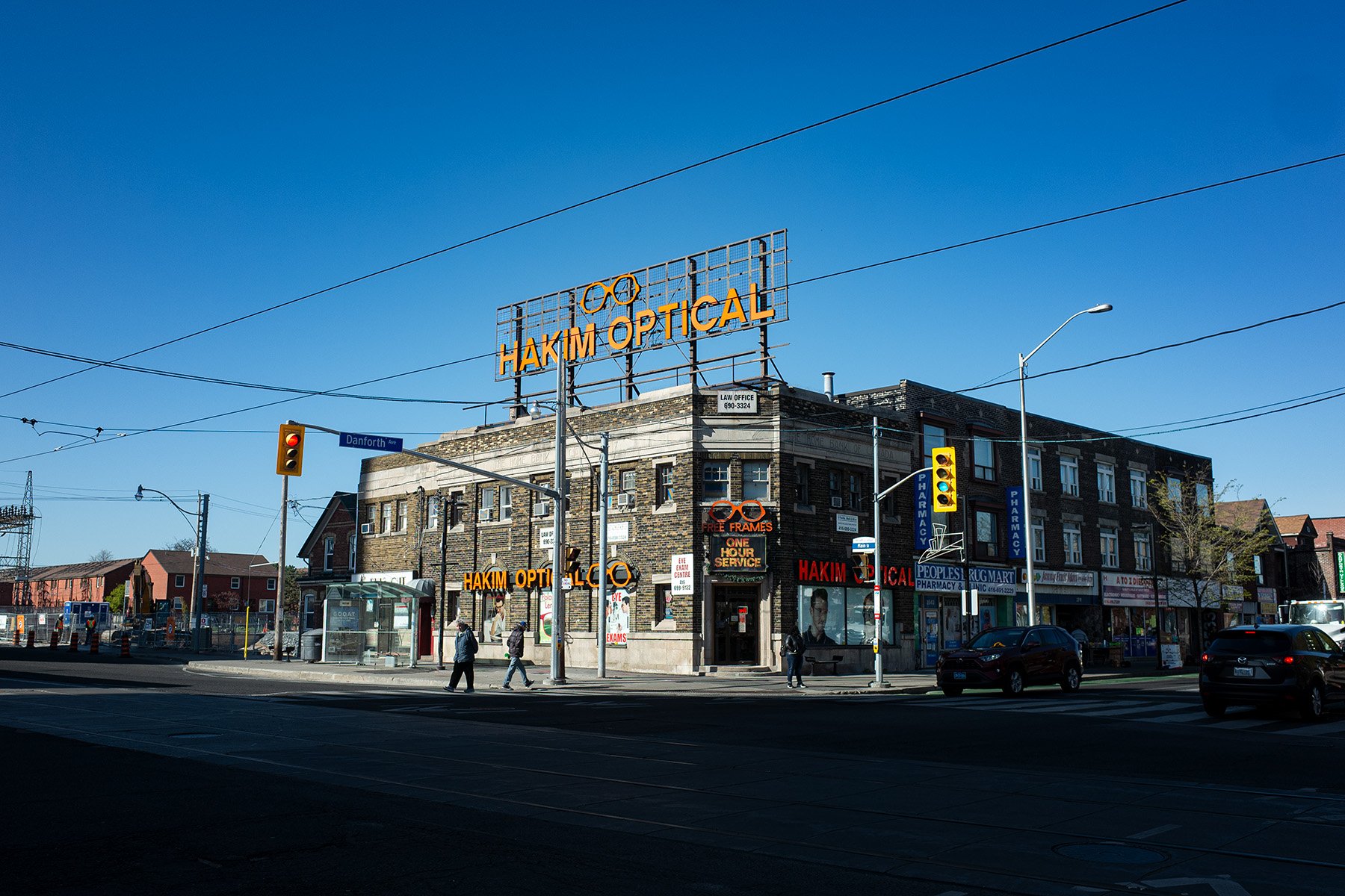
Danforth Village, stretching between Main Street and Pharmacy Avenue, has a rich history shaped by waves of migration, urban development, and community growth. Once a rural farming area, it has become a landing place for many newcomers to Canada. From the 1980s through the 2000s, the neighbourhood was known for its affordable rents, small independent businesses, and convenient transit connections that made it a welcoming and accessible part of Toronto.
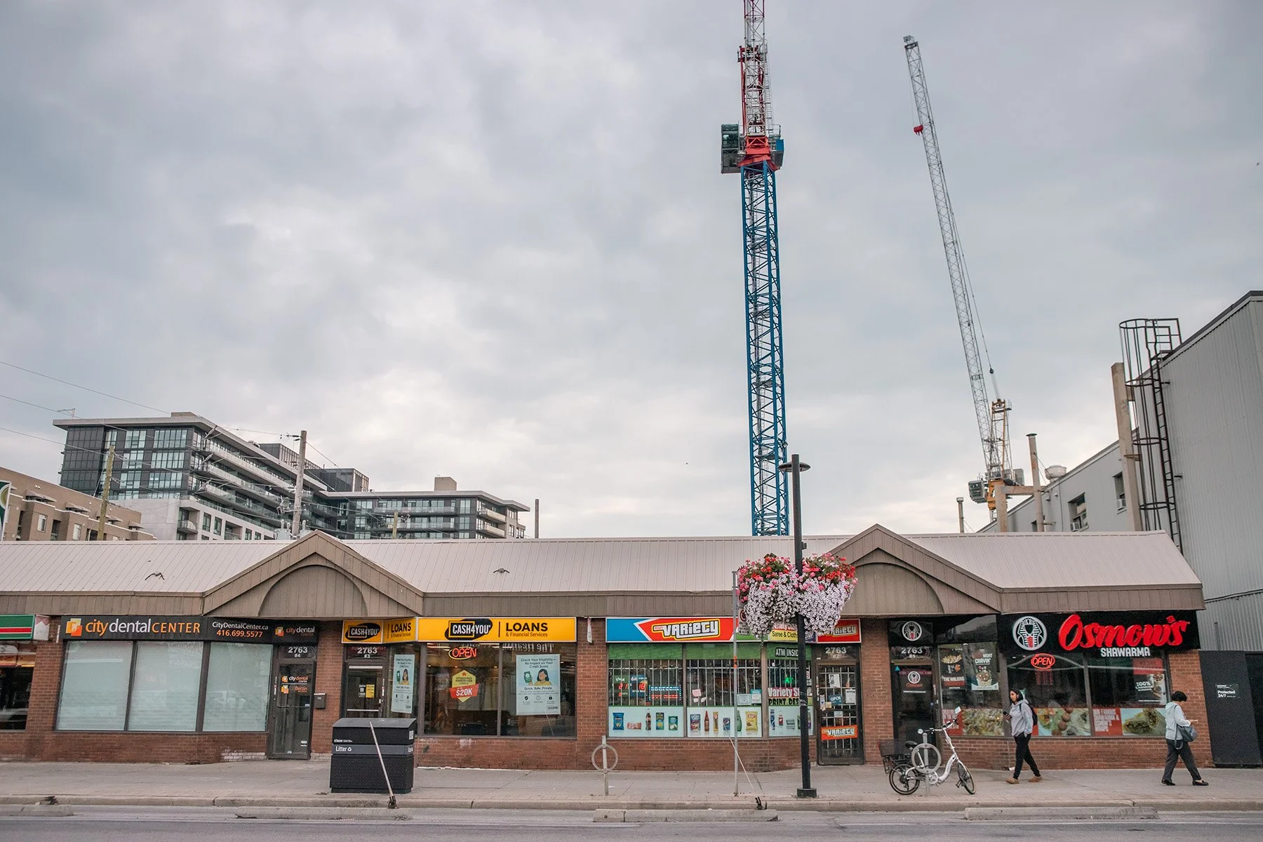
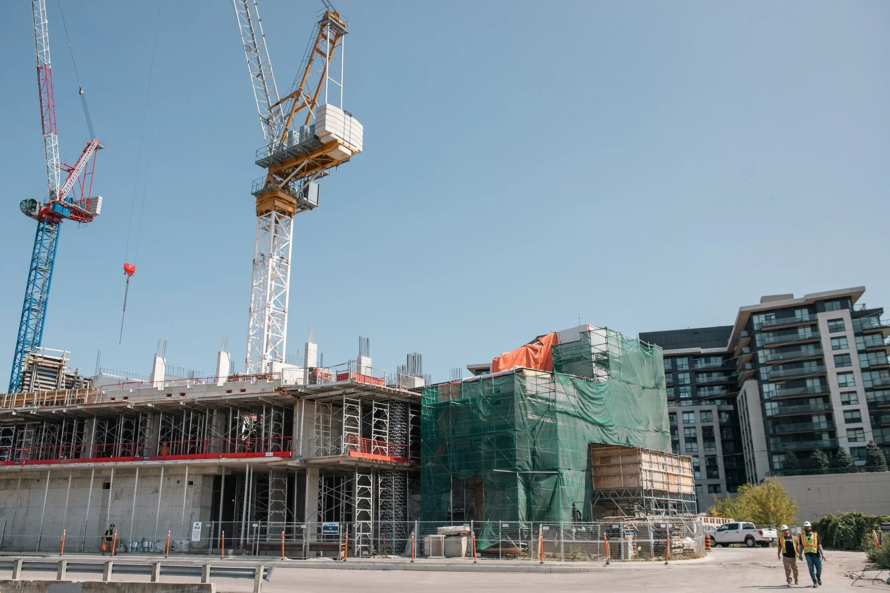
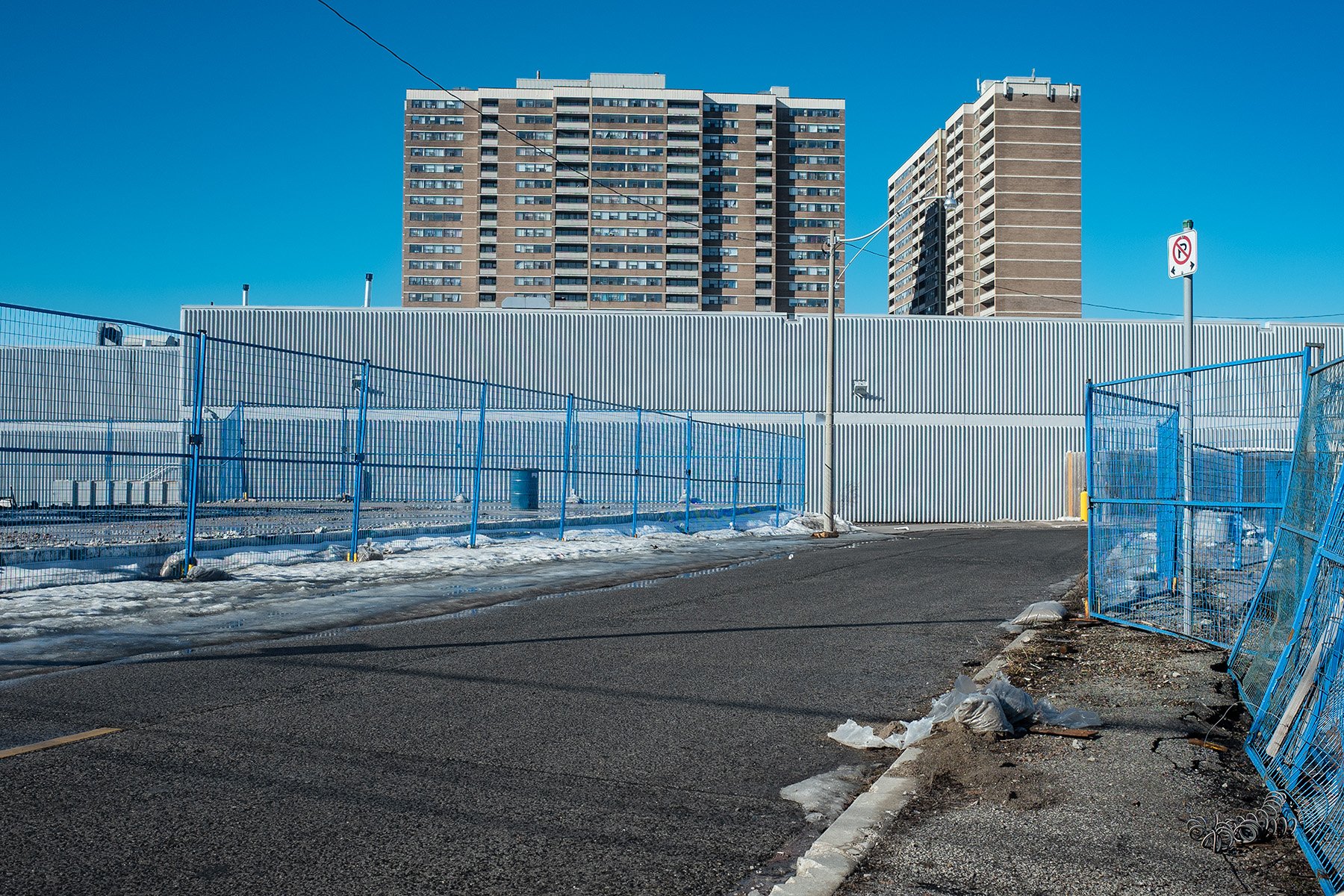
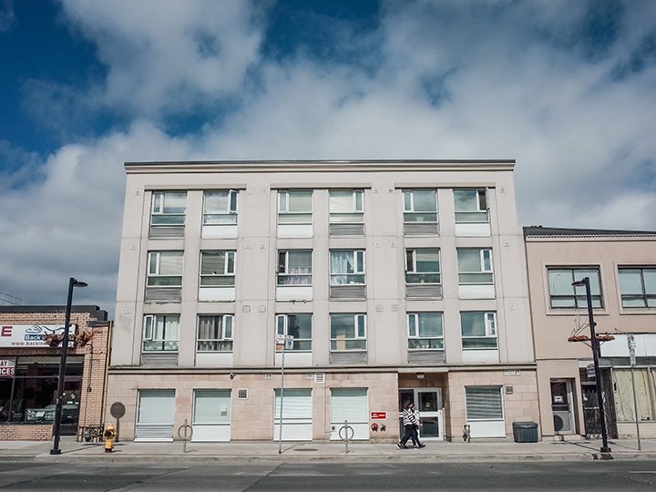
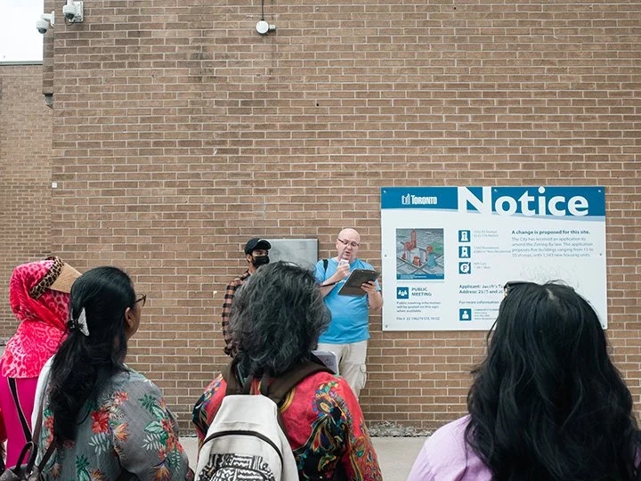
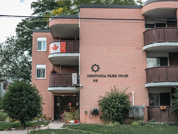
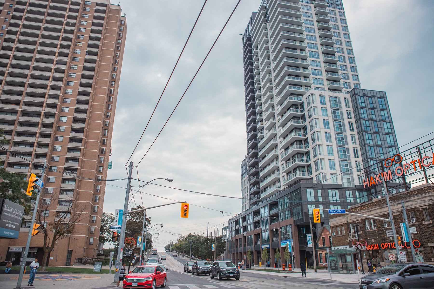
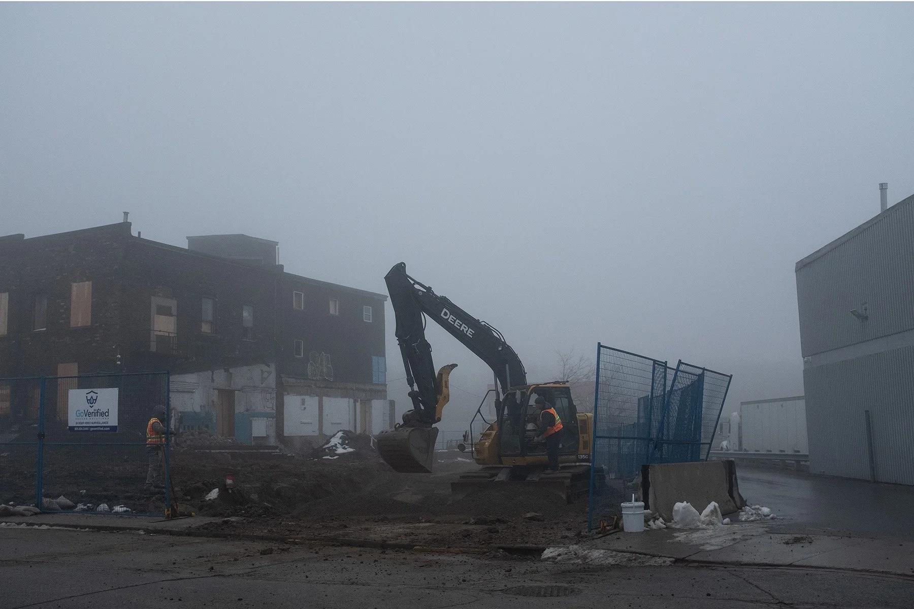
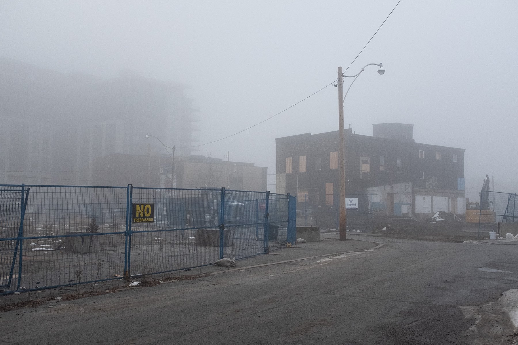
Today, Danforth Village is home to a mix of long-term residents and new immigrants, families, seniors, working professionals, and individuals in transition. The area reflects a strong Bangladeshi cultural presence, alongside other immigrant and established communities. The neighbourhood includes a range of housing — co-operative and social housing, transitional and government-subsidized housing, rental apartments, and single-family homes — reflecting its social and economic diversity. Many residents rely on nearby community services, schools, and local networks of care that help sustain a sense of belonging. In recent years, the area has seen significant change. New condominium developments and land acquisitions by private builders are transforming the landscape and raising questions about affordability, displacement, and community identity.
This series of photographs, taken between 2020 and 2025, documents the evolving landscape of Danforth Village — from housing supports and community spaces to the large-scale developments redefining its physical and social fabric.
What happens to those who depend on this neighbourhood’s affordability and social infrastructure as it continues to change?